GEOGRAPHY OF POVERTY: NORTHEAST
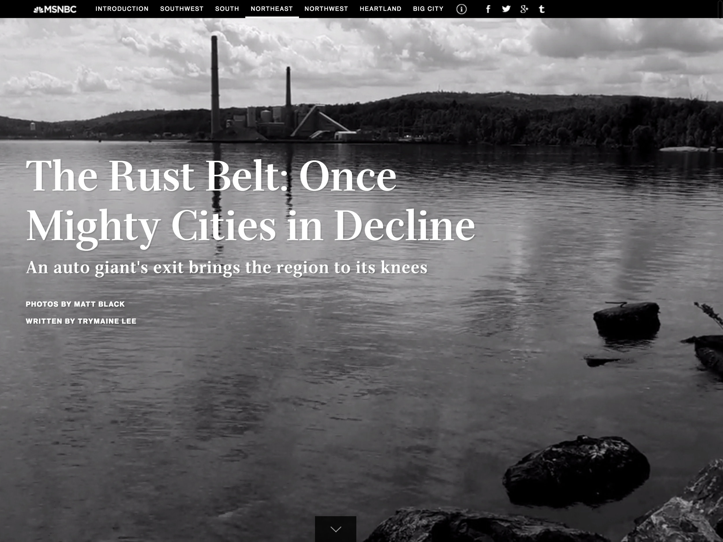
Here we explore the economic collapse in the rustbelt and the effect on healthcare and education. For the last few decades, people have been fleeing Flint Michigan in droves. The once-thriving manufacturing hub with a vibrant and booming downtown was bolstered by strong working and middle-class neighborhoods. In its heyday, there were 200,000 residents, and in the 1960s and 1970s, General Motors employed more than 80,000 of them at its Flint facilities. By 2015, GM employed just 5,000 workers in Flint. The city never recovered from the loss, and now struggles with widespread poverty and crime. It’s consistently ranked among the most violent cities in the country.


Geography of Poverty chapters: