GEOGRAPHY OF POVERTY: SOUTH
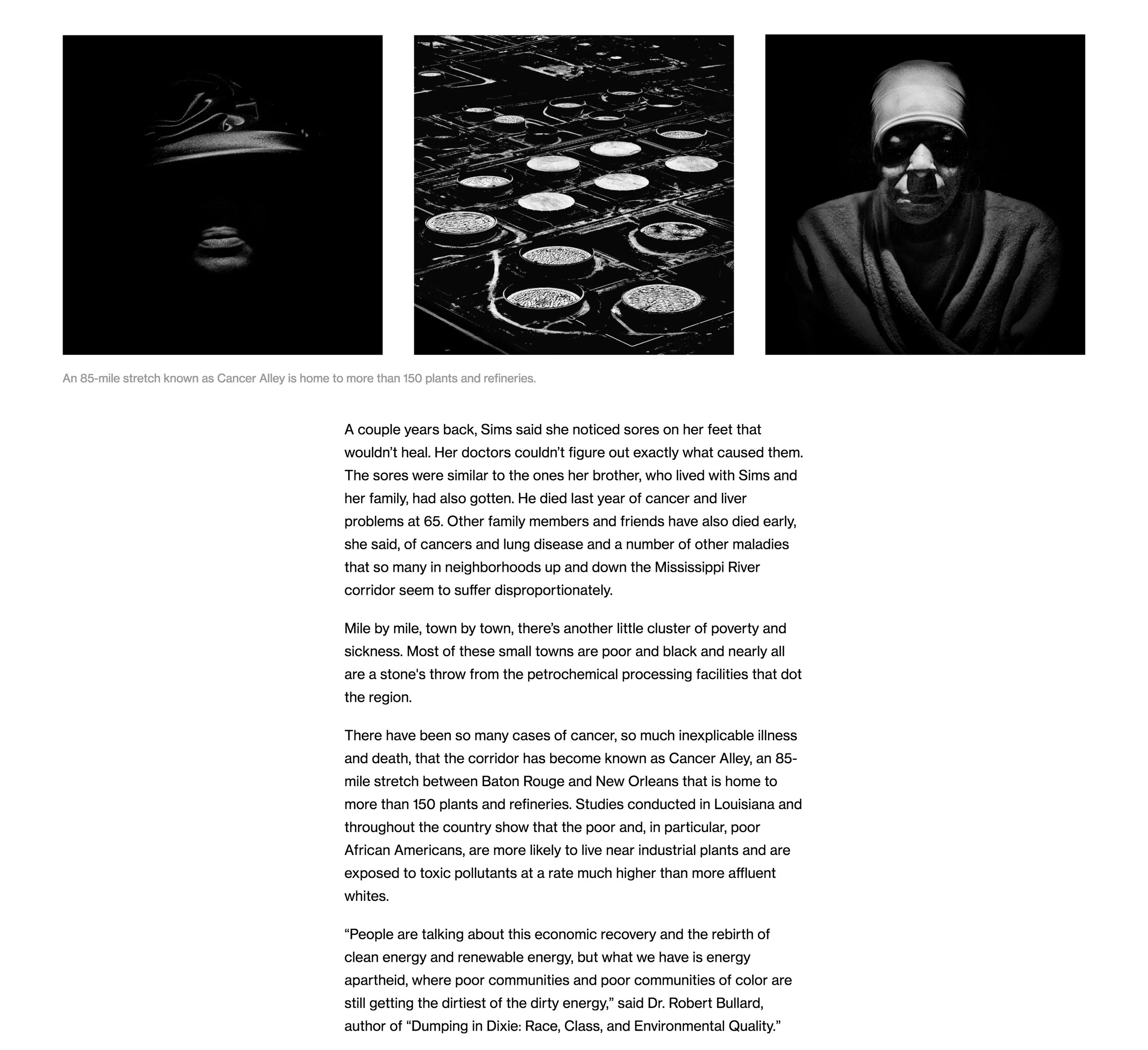
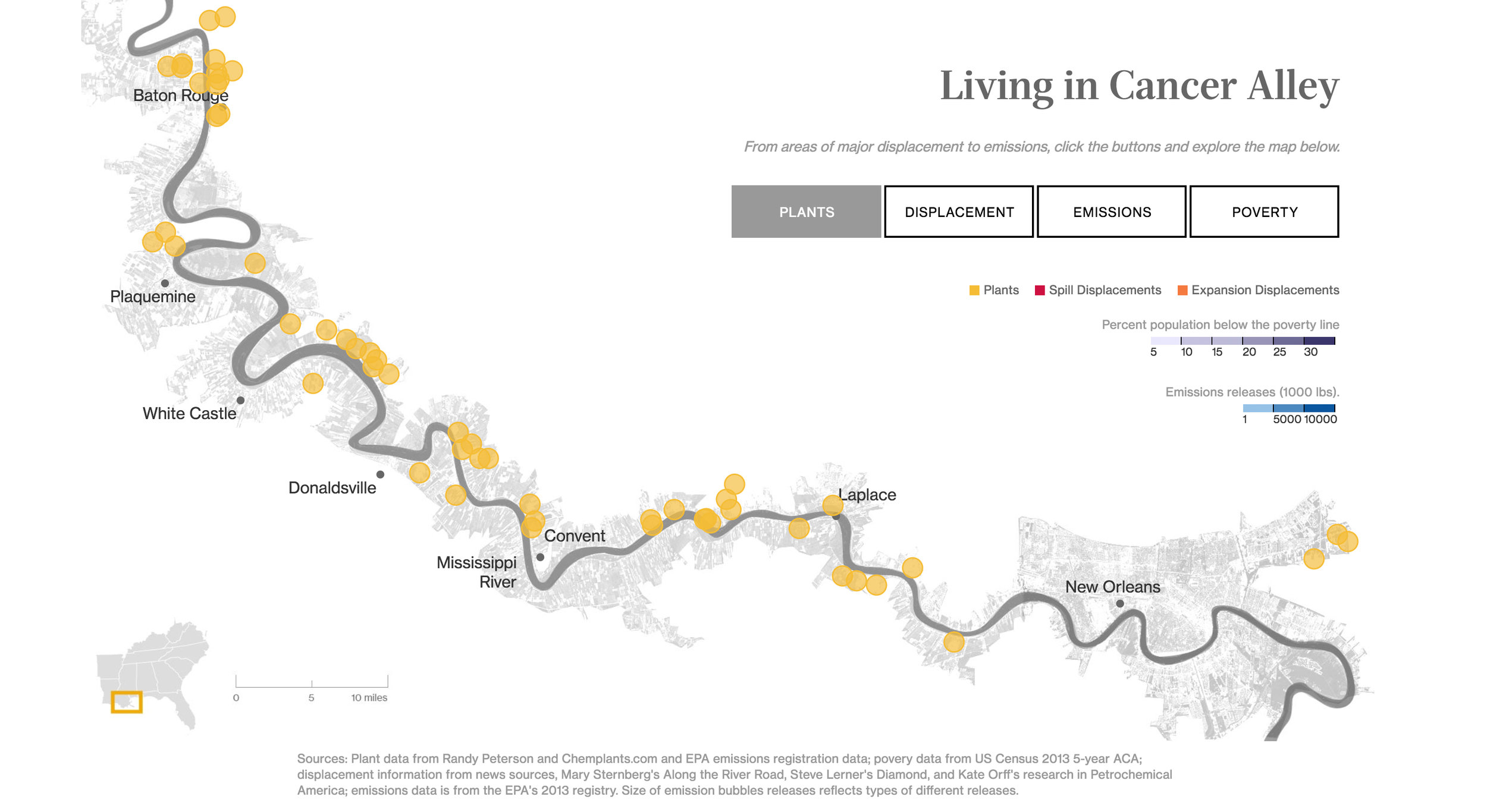
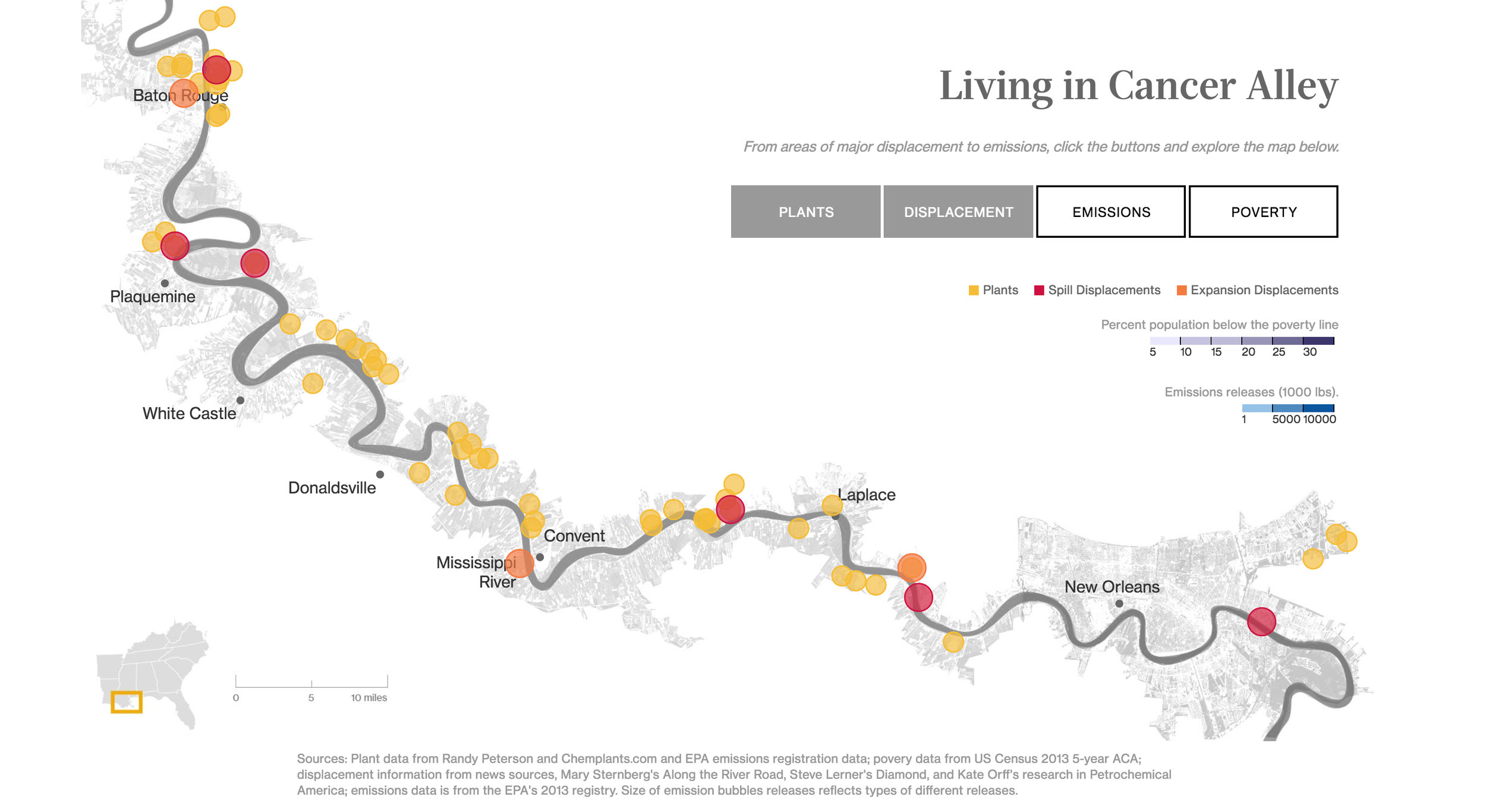
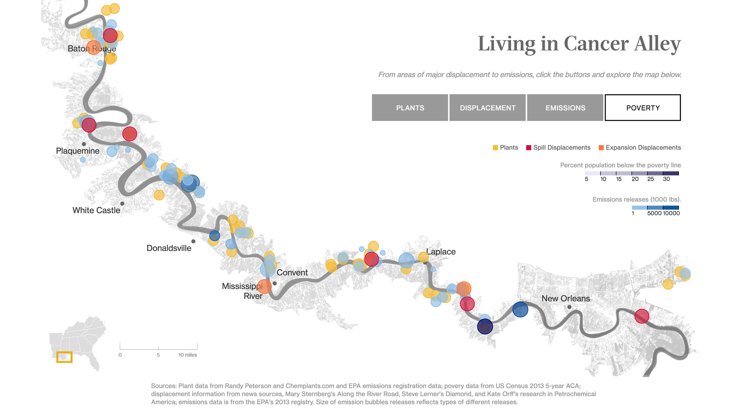
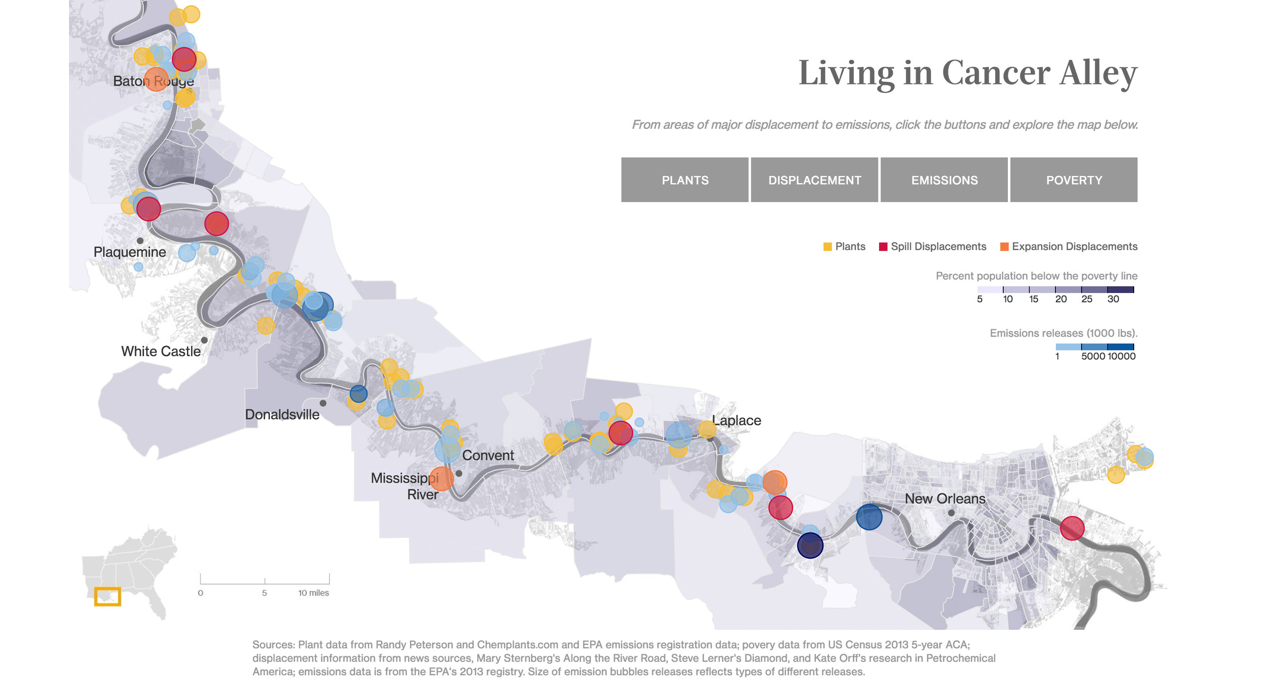
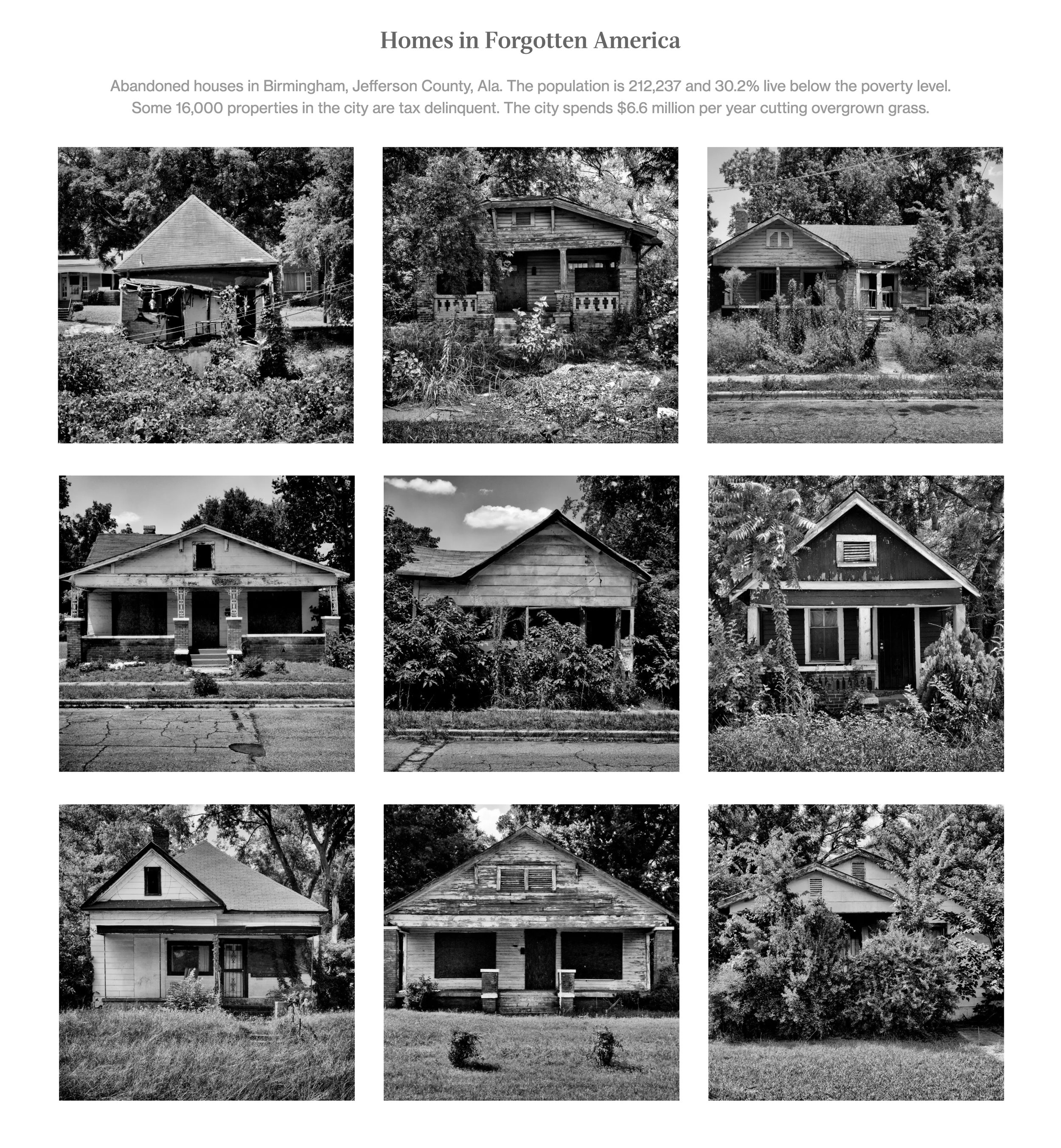
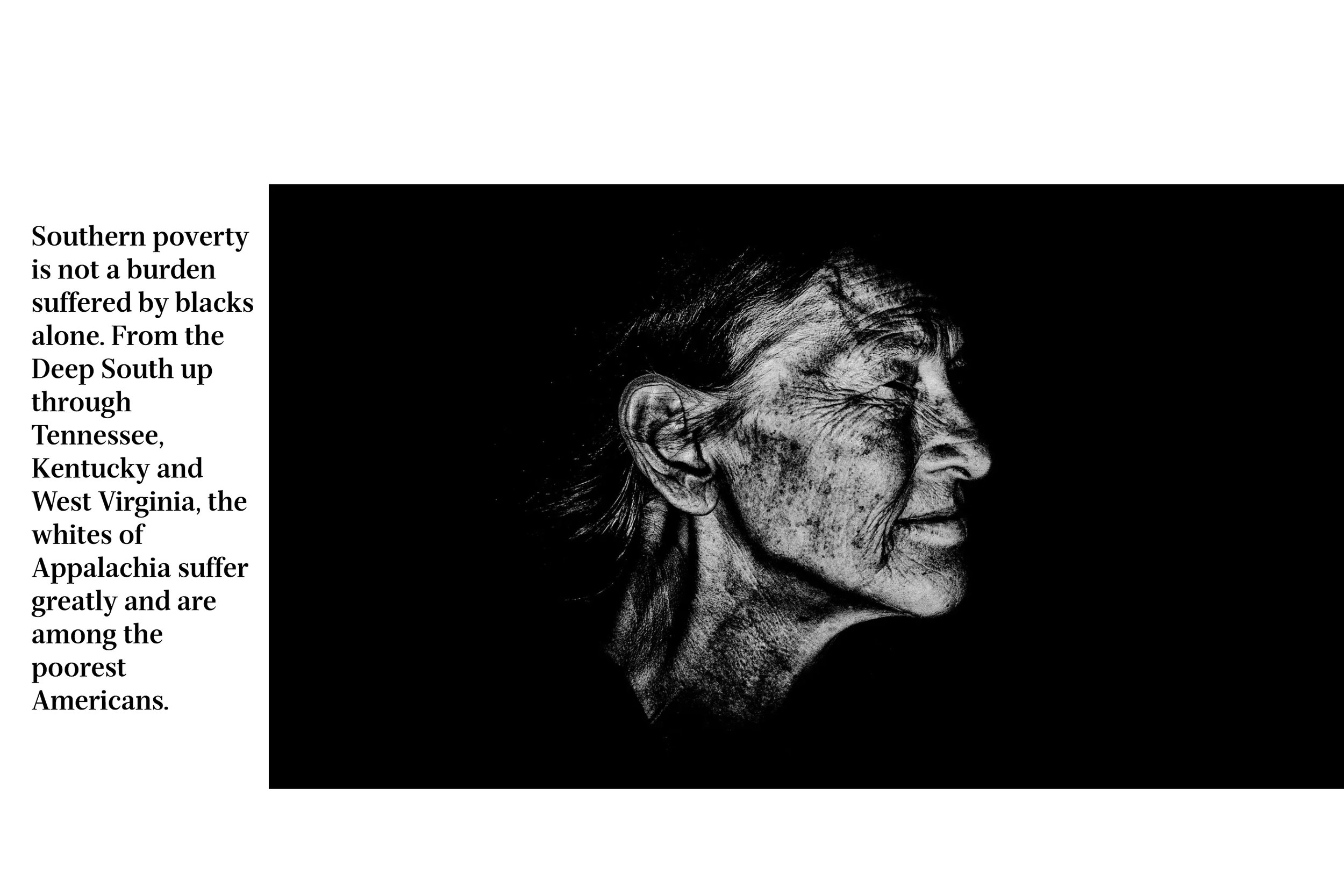
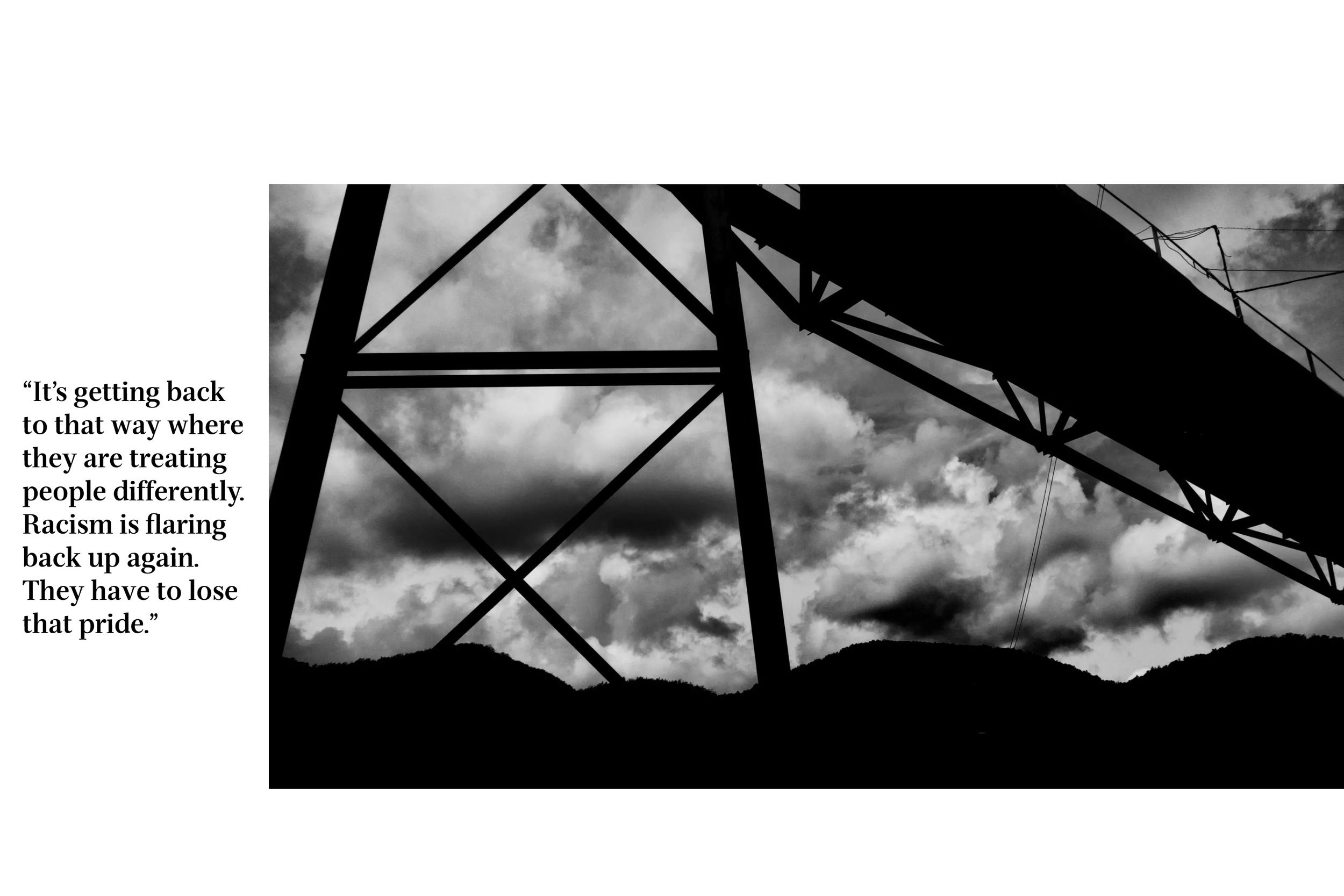
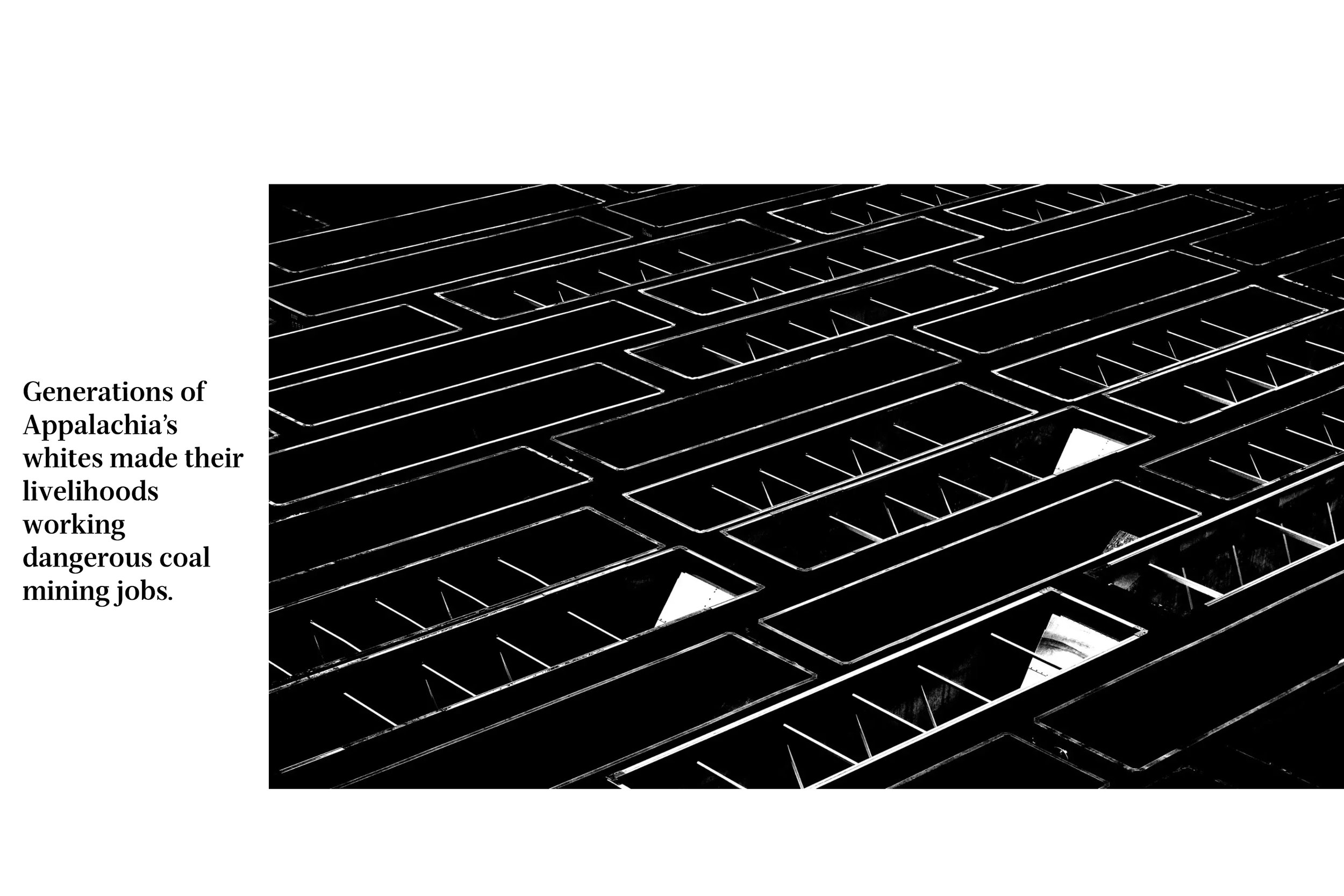
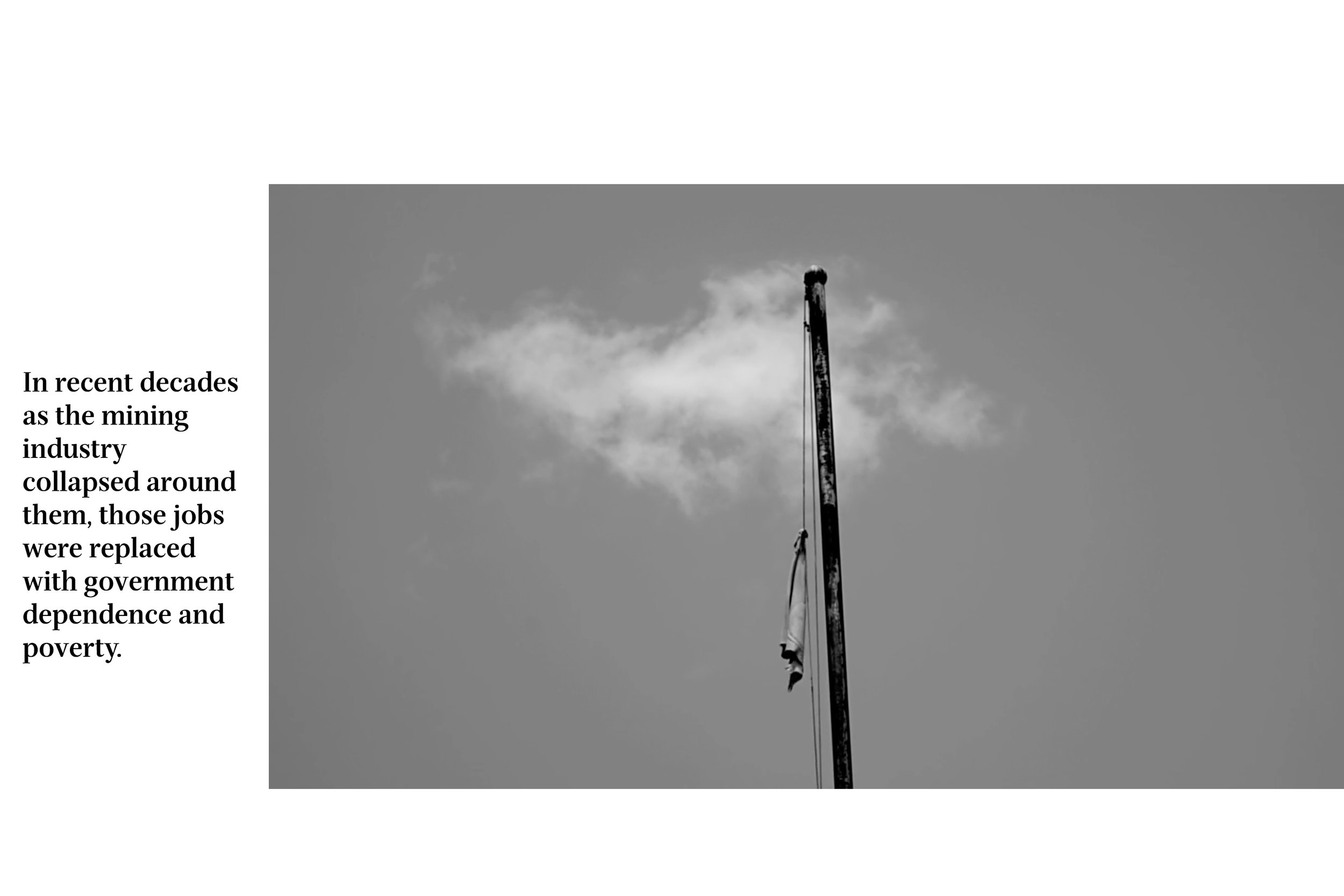
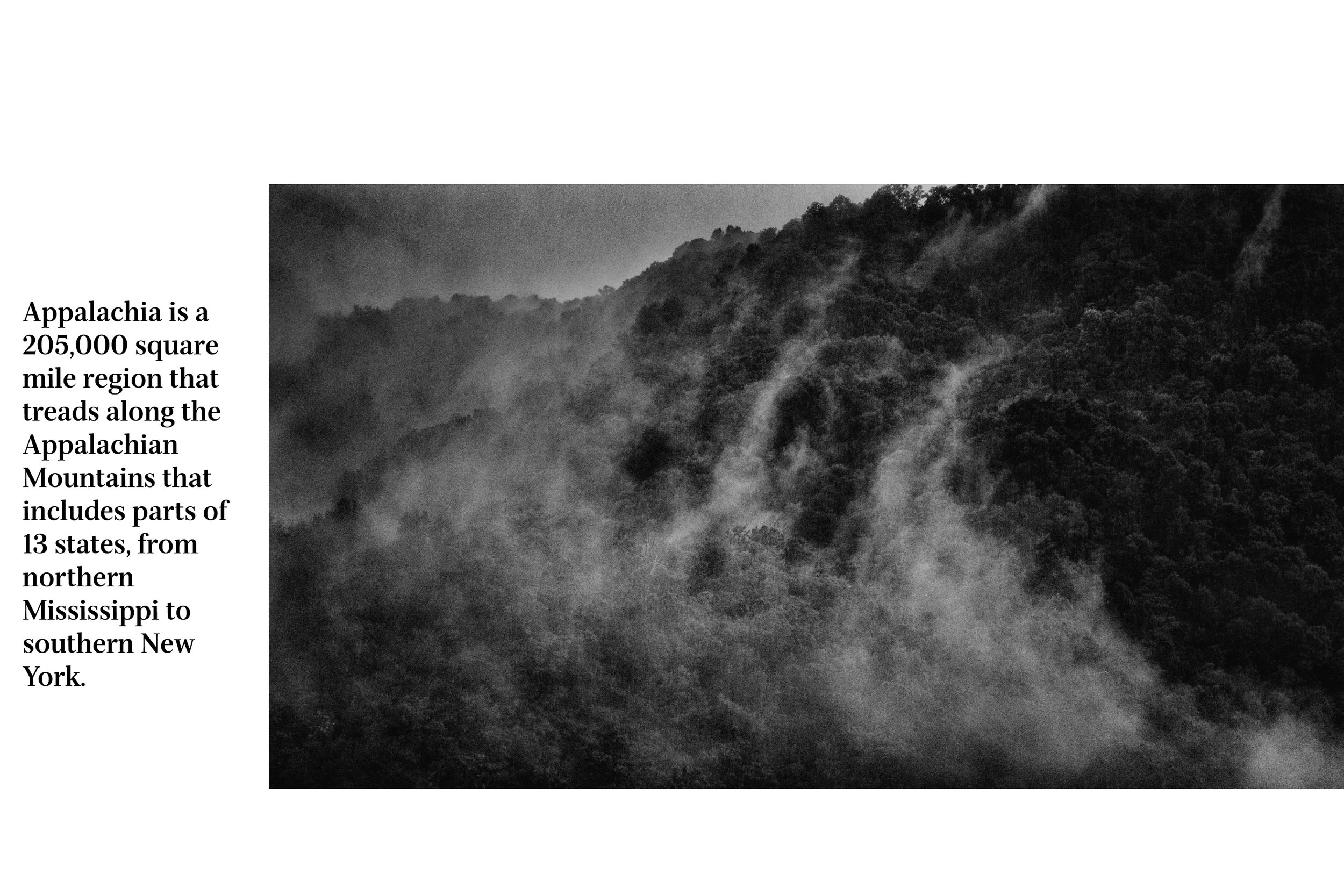
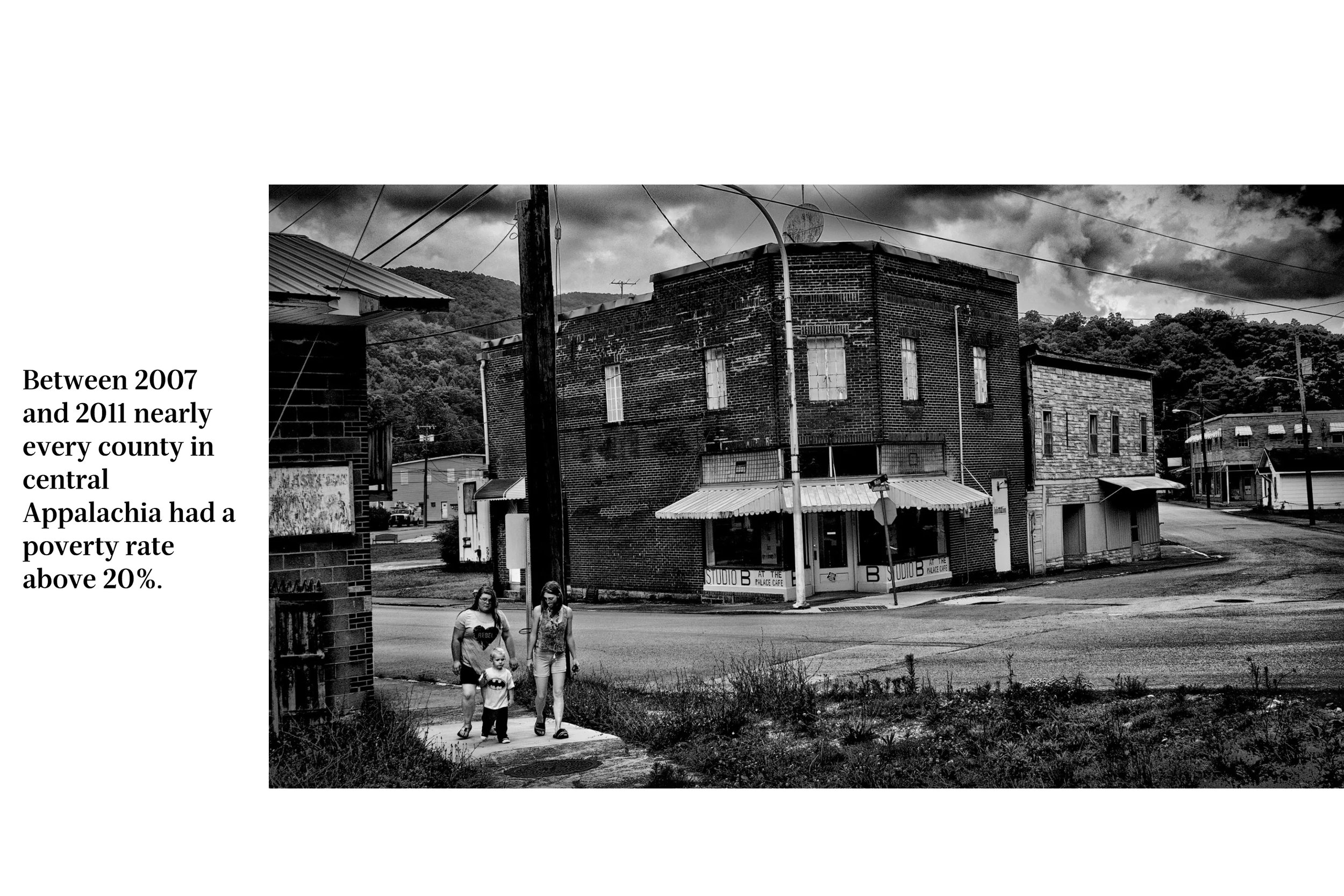
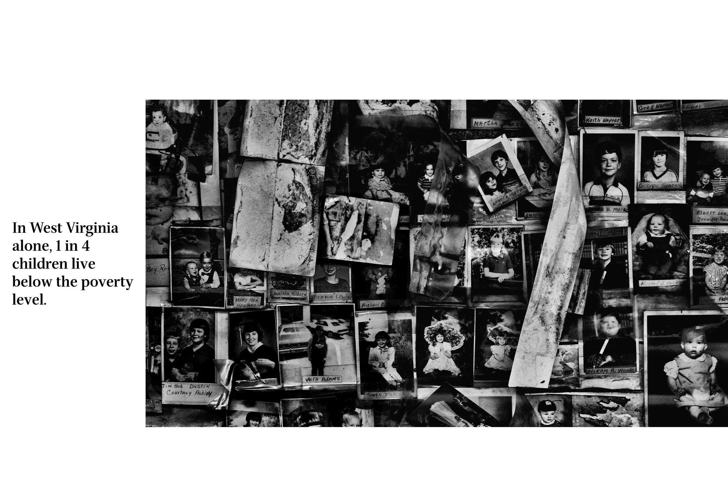
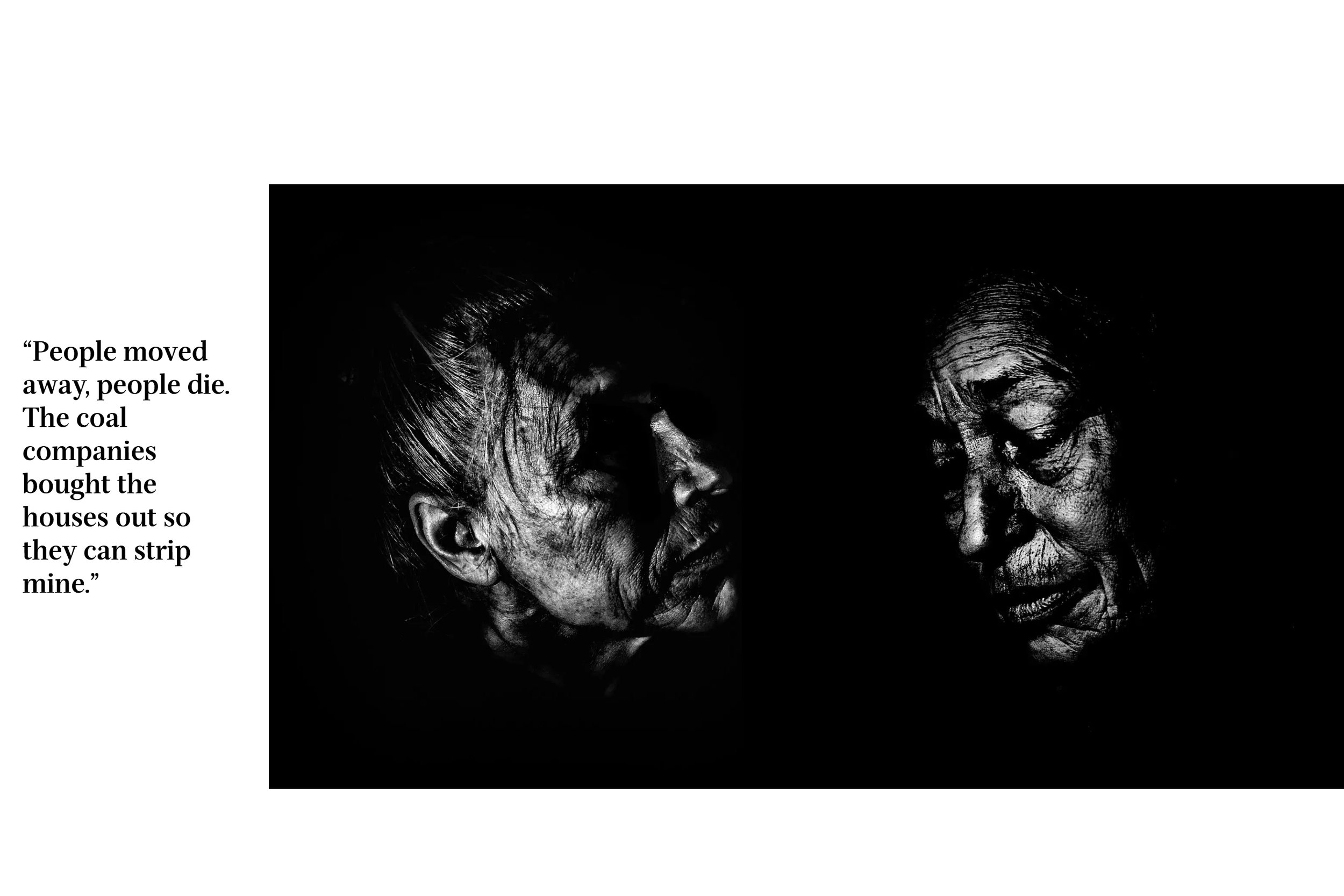
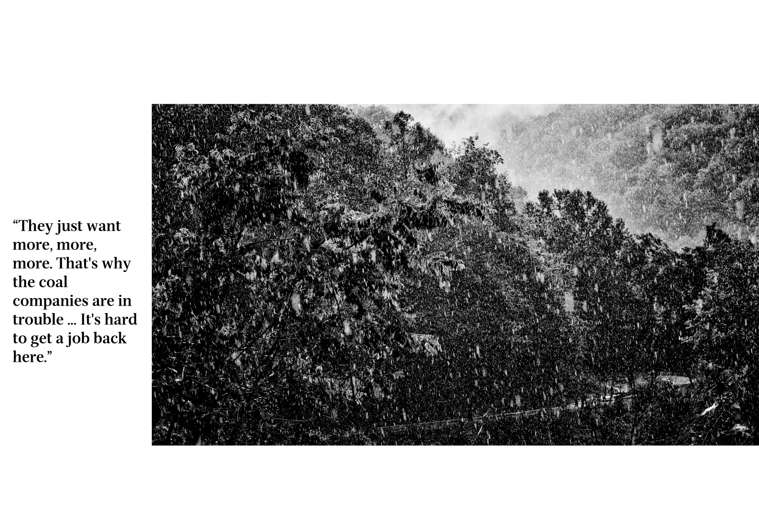
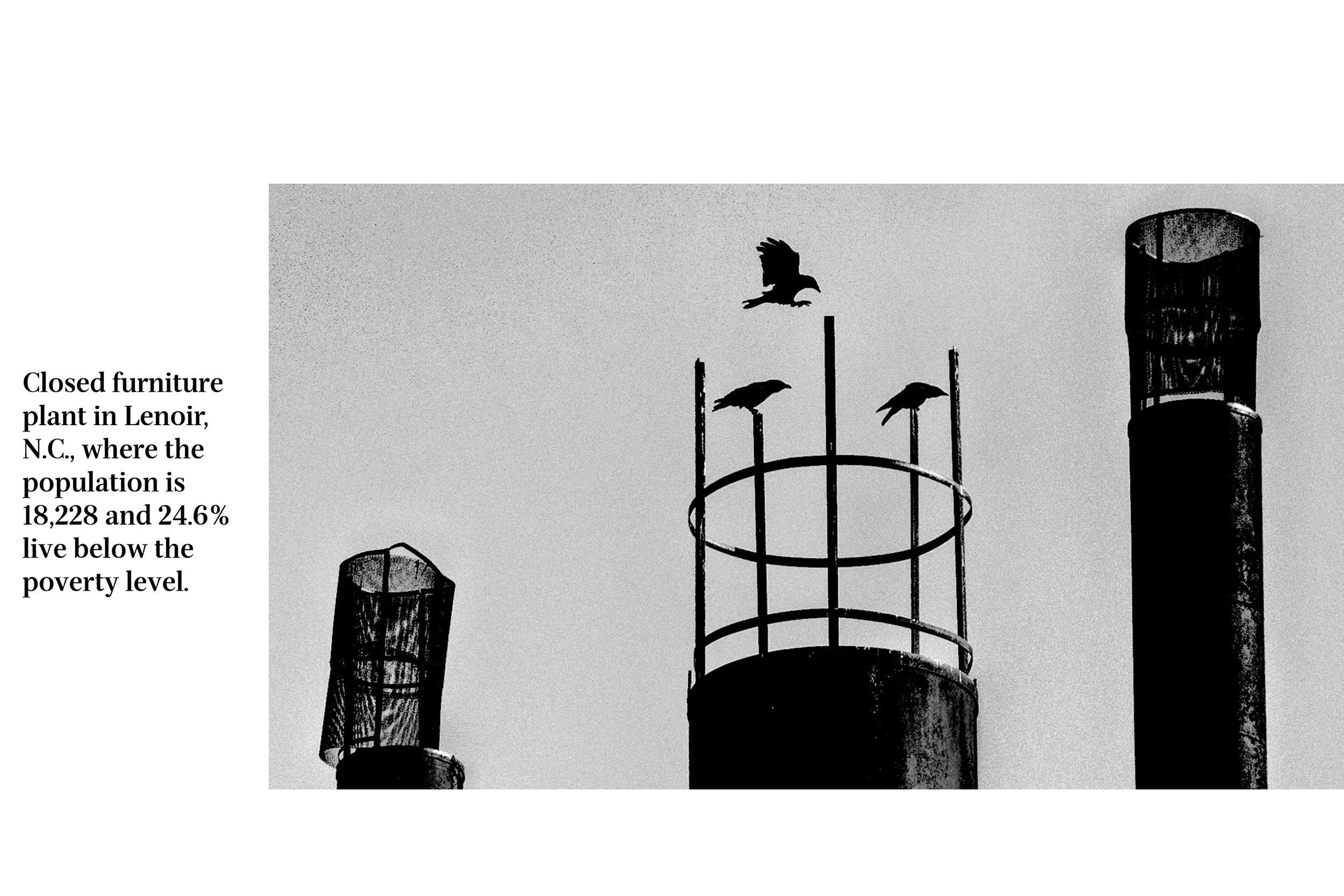
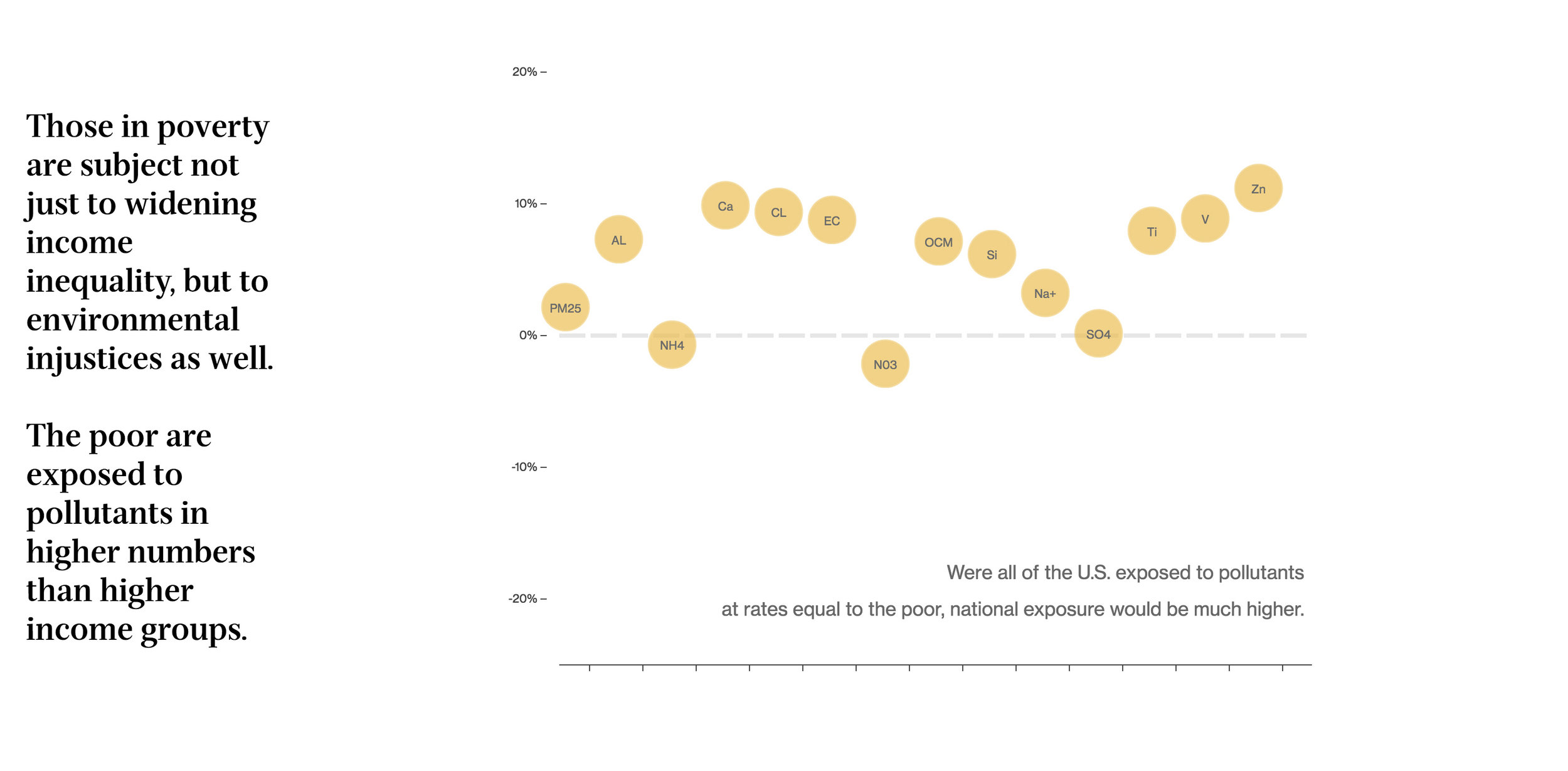
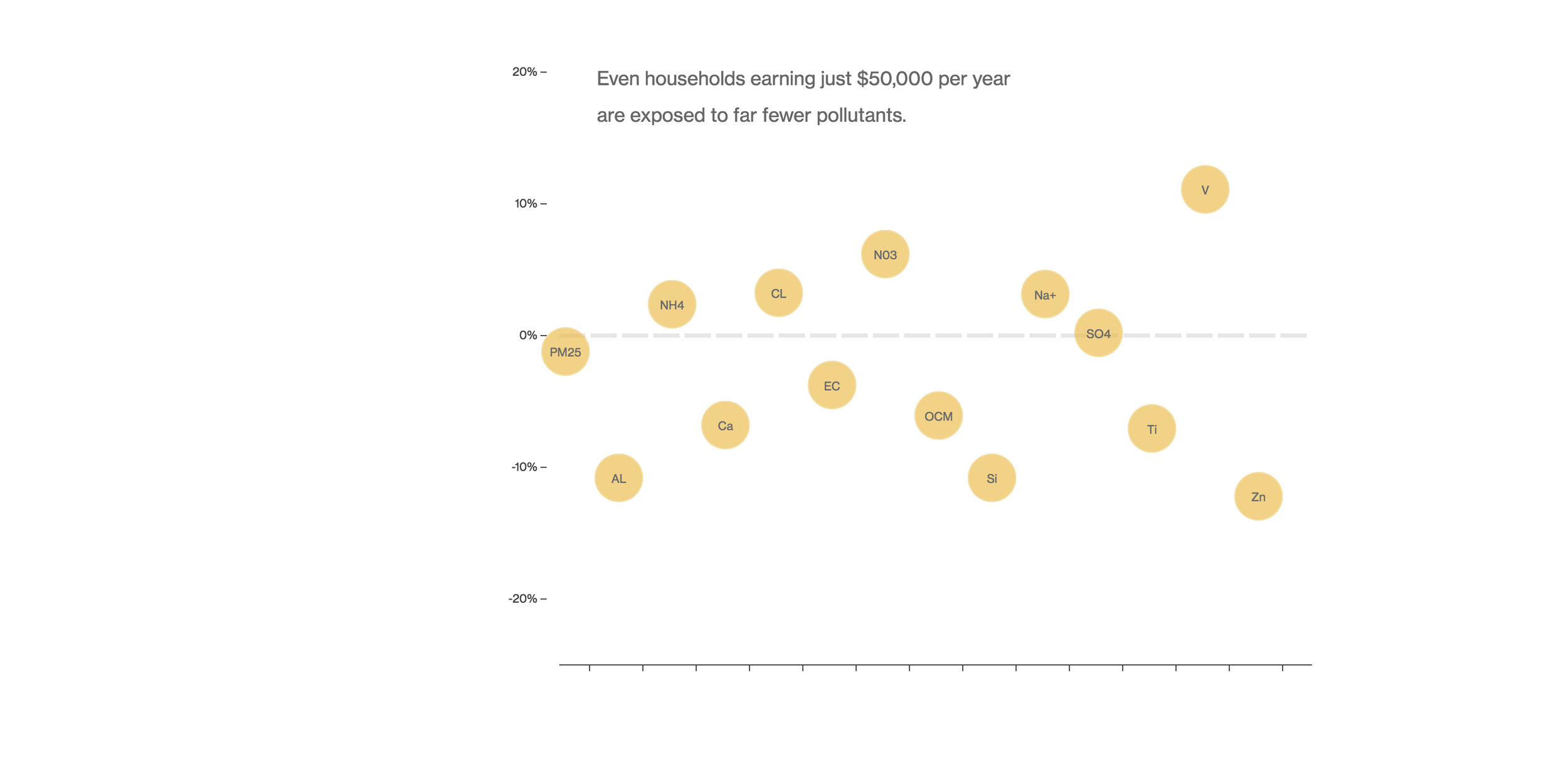
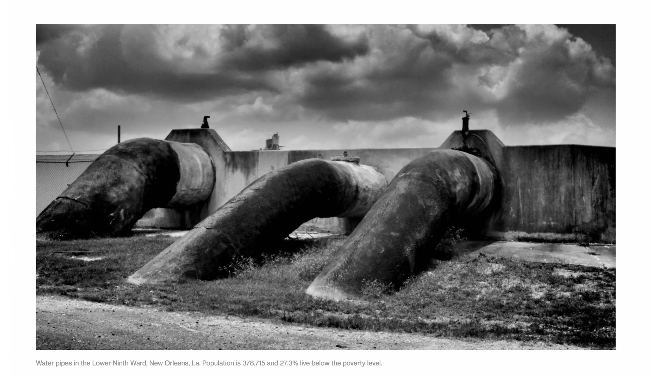
In the South, we look at the tie between race and environmental injustices. Most of the towns in this area are poor and black and nearly all are near the petrochemical processing facilities that dot Louisiana. There have been so many cases of cancer that the corridor has become known as Cancer Alley, an 85-mile stretch between Baton Rouge and New Orleans that is home to more than 150 plants and refineries. While poor blacks in the South suffer widely, the suffering isn’t theirs alone. White poverty in the South and Appalachia, in communities from Alabama and Mississippi, through Kentucky, Tennessee, and West Virginia, are among the most impoverished places in the country. The economies in these places have also been tied to big industry – mostly coal. Generations of whites in these coal towns made tough livings from the mines and have suffered great health effects from breathing in dangerous particles, with high rates of chronic bronchitis, black lung, and COPD.


Geography of Poverty chapters: